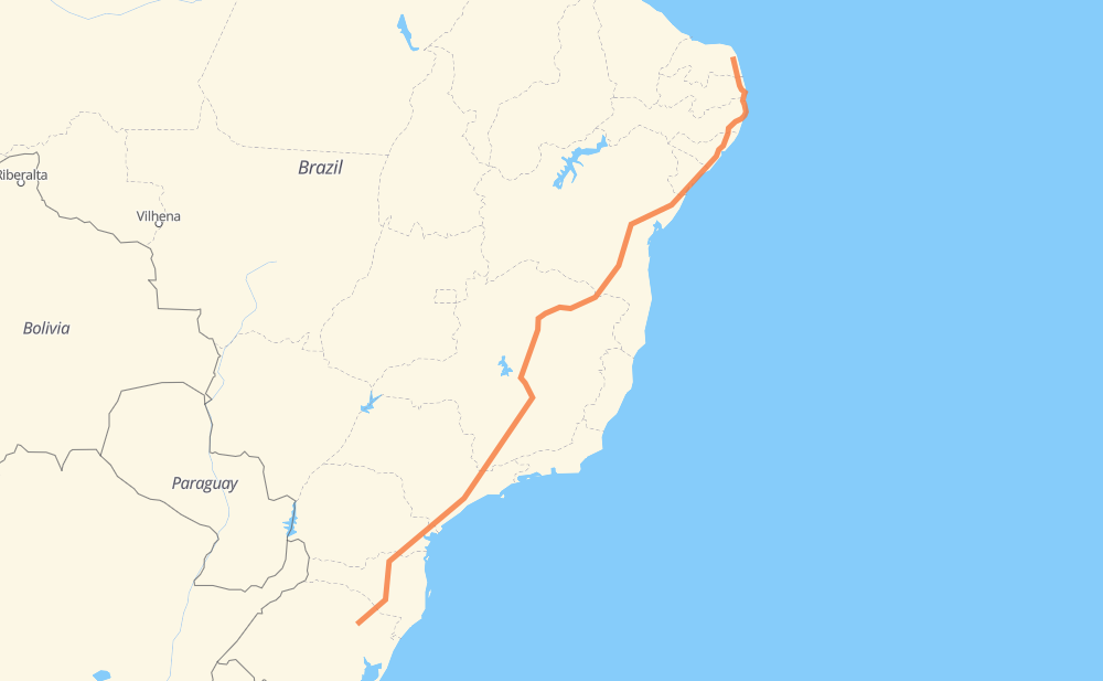
The distance from Ceará-Mirim to Nova Prata is 3,930 kilometers by road including 1,144 kilometers on motorways. Road takes approximately 45 hours and 6 minutes and goes through Ribeirão das Neves, Contagem, Betim, Atibaia, Barueri and Piraquara.
How much does it cost to drive from Ceará-Mirim to Nova Prata?
Fuel cost:
566 AUD
This fuel cost is calculated as: (Route length 3,930 km / 100 km) * (Fuel consumption 8 L/100 km) * (Fuel price 1.8 AUD / L)
You can adjust fuel consumption and fuel price here.
How long is a car ride from Ceará-Mirim to Nova Prata?
Driving time:
45 h 6 min
This time is calculated for driving at the maximum permitted speed, taking into account traffic rules restrictions.
652 km with a maximum speed 110 km/h = 5 h 55 min
210 km with a maximum speed 100 km/h = 2 h 5 min
1,859 km with a maximum speed 90 km/h = 20 h 39 min
994 km with a maximum speed 80 km/h = 12 h 25 min
29 km with a maximum speed 70 km/h = 24 min
166 km with a maximum speed 60 km/h = 2 h 45 min
17 km with a maximum speed 50 km/h = 20 min
19 km with a maximum speed 40 km/h = 28 min
The calculated driving time does not take into account intermediate stops and traffic jams.
How far is Ceará-Mirim to Nova Prata by land?
The distance between Ceará-Mirim and Nova Prata is 3,930 km by road including 1,144 km on motorways.
Precise satellite coordinates of highways were used for this calculation. The start and finish points are the centers of Ceará-Mirim and Nova Prata respectively.
How far is Ceará-Mirim to Nova Prata by plane?
The shortest distance (air line, as the crow flies) between Ceará-Mirim and Nova Prata is 3,087 km.
This distance is calculated using the Haversine formula as a great-circle distance between two points on the surface of a sphere. The start and finish points are the centers of Ceará-Mirim and Nova Prata respectively. Actual distance between airports may be different.
How many hours is Ceará-Mirim from Nova Prata by plane?
Boeing 737 airliner needs 3 h 51 min to cover the distance of 3,087 km at a cruising speed of 800 km/h.
Small plane "Cessna 172" needs 14 h 1 min to flight this distance at average speed of 220 km/h.
This time is approximate and do not take into account takeoff and landing times, airport location and other real world factors.
How long is a helicopter ride from Ceará-Mirim to Nova Prata?
Fast helicopter "Eurocopter AS350" or "Hughes OH-6 Cayuse" need 12 h 51 min to cover the distance of 3,087 km at a cruising speed of 240 km/h.
Popular "Robinson R44" needs 14 h 42 min to flight this distance at average speed of 210 km/h.
This time is approximate and do not take into account takeoff and landing times, aerodrome location and other real world factors.
What city is halfway between Ceará-Mirim and Nova Prata?
The halfway point between Ceará-Mirim and Nova Prata is Balaio. It is located about 1 km from the exact midpoint by road.
The distance from Balaio to Ceará-Mirim is 1,966 km and driving will take about 23 h 3 min. The road between Balaio and Nova Prata has length 1,964 km and will take approximately 22 h 2 min.
The other cities located close to halfway point:
Santo Amaro is in 1,985 km from Ceará-Mirim and 1,945 km from Nova Prata
Francisco Sá is in 1,918 km from Ceará-Mirim and 2,012 km from Nova Prata
Bocaiuva is in 2,038 km from Ceará-Mirim and 1,892 km from Nova Prata
Where is Ceará-Mirim in relation to Nova Prata?
Ceará-Mirim is located 3,087 km north-east of Nova Prata.
Ceará-Mirim has geographic coordinates: latitude -5.64316, longitude -35.42467.
Nova Prata has geographic coordinates: latitude -28.7844, longitude -51.61054.
Which highway goes from Ceará-Mirim to Nova Prata?
The route from Ceará-Mirim to Nova Prata follows BR-116, BR-101, BR-381, BR-135, BR-251, SP-230, BR-040.