Distance between Chapada Grande and Aracruz
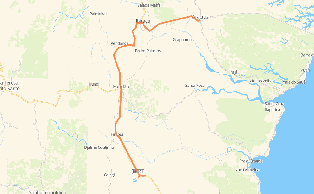
The distance from Chapada Grande to Aracruz is 48 kilometers by road. Road takes approximately 38 minutes and goes through Cidade Nova da Serra, Beira-Rio, Fundão and De Carli.
| Shortest distance by air | 29 km ✈️ |
| Car route length | 48 km 🚗 |
| Driving time | 38 min |
| Fuel amount | 3.8 L |
| Fuel cost | 6.8 AUD |
| Point | Distance | Time | Fuel | |
| Chapada Grande | 0 km | 00 min | 0.0 L | |
|
BR-101 6 km, 04 min
|
||||
| Cidade Nova da Serra | 6 km | 04 min | 0.4 L | |
|
BR-101 13 km, 08 min
|
||||
| Beira-Rio | 19 km | 13 min | 1.5 L | |
|
BR-101 0 km, 00 min
|
||||
| Fundão | 19 km | 14 min | 1.5 L | |
|
BR-101 11 km, 08 min
|
||||
| Guatemala | 30 km | 22 min | 2.3 L | |
|
BR-101 6 km, 05 min
|
||||
| São Benedito | 37 km | 27 min | 2.9 L | |
|
ES-257 9 km, 09 min
|
||||
| De Carli | 46 km | 36 min | 3.6 L | |
|
ES-257 2 km, 01 min
|
||||
| -19.82452, -40.27350 | 48 km | 38 min | 3.8 L | |
Frequently Asked Questions
How much does it cost to drive from Chapada Grande to Aracruz?
Fuel cost: 6.8 AUD
This fuel cost is calculated as: (Route length 48 km / 100 km) * (Fuel consumption 8 L/100 km) * (Fuel price 1.8 AUD / L)
You can adjust fuel consumption and fuel price here.
How long is a car ride from Chapada Grande to Aracruz?
Driving time: 38 min
This time is calculated for driving at the maximum permitted speed, taking into account traffic rules restrictions.
- 23 km with a maximum speed 90 km/h = 15 min
- 10 km with a maximum speed 80 km/h = 7 min
- 12 km with a maximum speed 60 km/h = 11 min
- 2 km with a maximum speed 50 km/h = 2 min
- 1 km with a maximum speed 40 km/h = 1 min
The calculated driving time does not take into account intermediate stops and traffic jams.
How far is Chapada Grande to Aracruz by land?
The distance between Chapada Grande and Aracruz is 48 km by road.
Precise satellite coordinates of highways were used for this calculation. The start and finish points are the centers of Chapada Grande and Aracruz respectively.
What city is halfway between Chapada Grande and Aracruz?
The halfway point between Chapada Grande and Aracruz is Fundão. It is located about 5 km from the exact midpoint by road.
The distance from Fundão to Chapada Grande is 19 km and driving will take about 14 min. The road between Fundão and Aracruz has length 28 km and will take approximately 24 min.
The other cities located close to halfway point:
Where is Chapada Grande in relation to Aracruz?
Chapada Grande is located 29 km south-west of Aracruz.
Chapada Grande has geographic coordinates: latitude -20.07104, longitude -40.37737.
Aracruz has geographic coordinates: latitude -19.82452, longitude -40.2735.
Which highway goes from Chapada Grande to Aracruz?
The route from Chapada Grande to Aracruz follows BR-101.
Other minor sections pass along the road:
- ES-257: 11 km