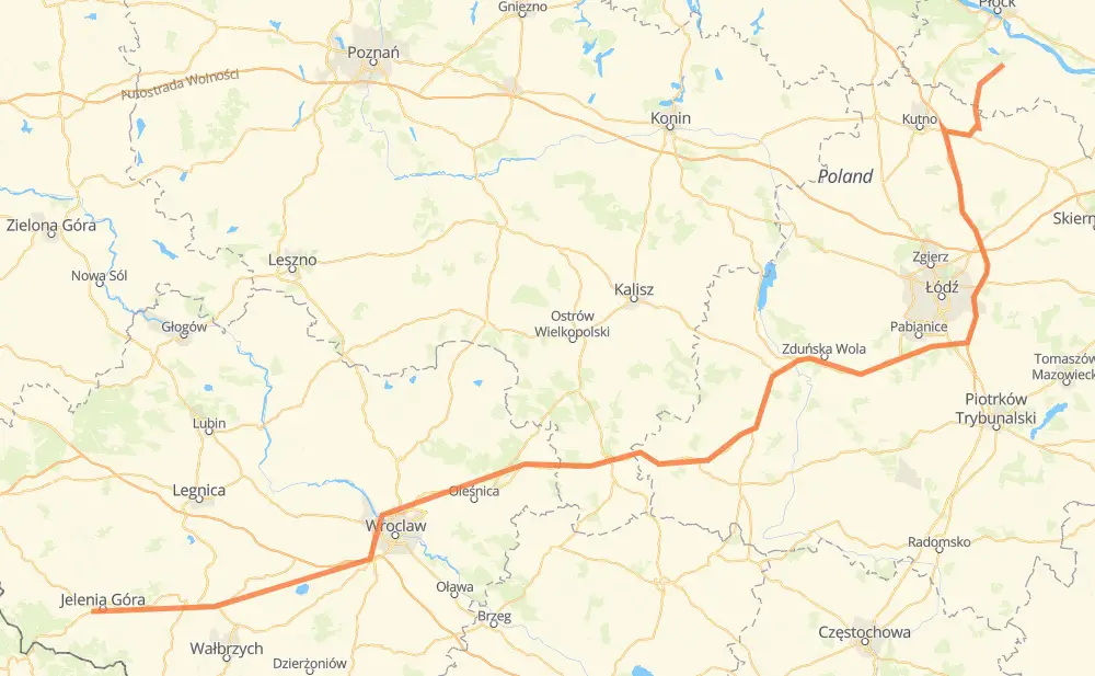
The distance from Gąbin to Goduszyn is 437 kilometers by road including 118 kilometers on motorways. Road takes approximately 4 hours and 54 minutes and goes through Hirschberg, Żychlin, Stryków, Groß Wartenberg, Kanth, Striegau and Bolkenhain.
How much does it cost to drive from Gąbin to Goduszyn?
Fuel cost:
62.2 AUD
This fuel cost is calculated as: (Route length 437 km / 100 km) * (Fuel consumption 8 L/100 km) * (Fuel price 1.78 AUD / L)
You can adjust fuel consumption and fuel price here.
How long is a car ride from Gąbin to Goduszyn?
Driving time:
4 h 54 min
This time is calculated for driving at the maximum permitted speed, taking into account traffic rules restrictions.
112 km with a maximum speed 110 km/h = 1 h 1 min
2 km with a maximum speed 100 km/h = 1 min
267 km with a maximum speed 90 km/h = 2 h 58 min
21 km with a maximum speed 80 km/h = 15 min
9 km with a maximum speed 70 km/h = 7 min
2 km with a maximum speed 60 km/h = 2 min
22 km with a maximum speed 50 km/h = 26 min
2 km with a maximum speed 40 km/h = 2 min
The calculated driving time does not take into account intermediate stops and traffic jams.
How far is Gąbin to Goduszyn by land?
The distance between Gąbin and Goduszyn is 437 km by road including 118 km on motorways.
Precise satellite coordinates of highways were used for this calculation. The start and finish points are the centers of Gąbin and Goduszyn respectively.
How far is Gąbin to Goduszyn by plane?
The shortest distance (air line, as the crow flies) between Gąbin and Goduszyn is 326 km.
This distance is calculated using the Haversine formula as a great-circle distance between two points on the surface of a sphere. The start and finish points are the centers of Gąbin and Goduszyn respectively. Actual distance between airports may be different.
How many hours is Gąbin from Goduszyn by plane?
Boeing 737 airliner needs 24 min to cover the distance of 326 km at a cruising speed of 800 km/h.
Small plane "Cessna 172" needs 1 h 28 min to flight this distance at average speed of 220 km/h.
This time is approximate and do not take into account takeoff and landing times, airport location and other real world factors.
How long is a helicopter ride from Gąbin to Goduszyn?
Fast helicopter "Eurocopter AS350" or "Hughes OH-6 Cayuse" need 1 h 21 min to cover the distance of 326 km at a cruising speed of 240 km/h.
Popular "Robinson R44" needs 1 h 33 min to flight this distance at average speed of 210 km/h.
This time is approximate and do not take into account takeoff and landing times, aerodrome location and other real world factors.
What city is halfway between Gąbin and Goduszyn?
The halfway point between Gąbin and Goduszyn is Tyble Małe. It is located about 3 km from the exact midpoint by road.
The distance from Tyble Małe to Gąbin is 215 km and driving will take about 2 h 20 min. The road between Tyble Małe and Goduszyn has length 222 km and will take approximately 2 h 34 min.
The other cities located close to halfway point:
Polesie is in 225 km from Gąbin and 212 km from Goduszyn
Kolonia Nawrotów is in 231 km from Gąbin and 206 km from Goduszyn
Pustkowie Kierzeńskie is in 233 km from Gąbin and 204 km from Goduszyn
Where is Gąbin in relation to Goduszyn?
Gąbin is located 326 km north-east of Goduszyn.
Gąbin has geographic coordinates: latitude 52.39942, longitude 19.73072.
Goduszyn has geographic coordinates: latitude 50.895, longitude 15.68194.