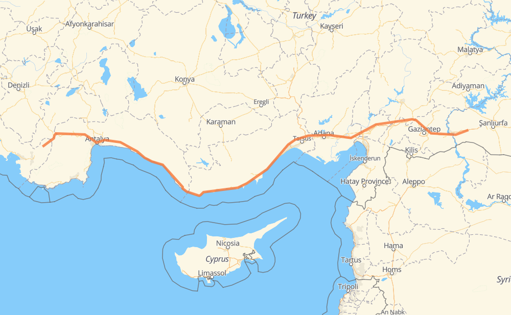
The distance from Kınık to Aşağı Hacılı is 984 kilometers by road including 378 kilometers on motorways. Road takes approximately 11 hours and 20 minutes and goes through Korucak, Aksu, Akçaalan Mh., Çolaklı, Ilıca, Konak Tatil Sitesi and Oba Mah..
How much does it cost to drive from Kınık to Aşağı Hacılı?
Fuel cost:
138.5 AUD
This fuel cost is calculated as: (Route length 984 km / 100 km) * (Fuel consumption 8 L/100 km) * (Fuel price 1.76 AUD / L)
You can adjust fuel consumption and fuel price here.
How long is a car ride from Kınık to Aşağı Hacılı?
Driving time:
11 h 20 min
This time is calculated for driving at the maximum permitted speed, taking into account traffic rules restrictions.
86 km with a maximum speed 110 km/h = 46 min
164 km with a maximum speed 100 km/h = 1 h 38 min
326 km with a maximum speed 90 km/h = 3 h 37 min
357 km with a maximum speed 80 km/h = 4 h 27 min
33 km with a maximum speed 70 km/h = 28 min
18 km with a maximum speed 50 km/h = 21 min
The calculated driving time does not take into account intermediate stops and traffic jams.
How far is Kınık to Aşağı Hacılı by land?
The distance between Kınık and Aşağı Hacılı is 984 km by road including 378 km on motorways.
Precise satellite coordinates of highways were used for this calculation. The start and finish points are the centers of Kınık and Aşağı Hacılı respectively.
How far is Kınık to Aşağı Hacılı by plane?
The shortest distance (air line, as the crow flies) between Kınık and Aşağı Hacılı is 774 km.
This distance is calculated using the Haversine formula as a great-circle distance between two points on the surface of a sphere. The start and finish points are the centers of Kınık and Aşağı Hacılı respectively. Actual distance between airports may be different.
How many hours is Kınık from Aşağı Hacılı by plane?
Boeing 737 airliner needs 58 min to cover the distance of 774 km at a cruising speed of 800 km/h.
Small plane "Cessna 172" needs 3 h 31 min to flight this distance at average speed of 220 km/h.
This time is approximate and do not take into account takeoff and landing times, airport location and other real world factors.
How long is a helicopter ride from Kınık to Aşağı Hacılı?
Fast helicopter "Eurocopter AS350" or "Hughes OH-6 Cayuse" need 3 h 13 min to cover the distance of 774 km at a cruising speed of 240 km/h.
Popular "Robinson R44" needs 3 h 41 min to flight this distance at average speed of 210 km/h.
This time is approximate and do not take into account takeoff and landing times, aerodrome location and other real world factors.
What city is halfway between Kınık and Aşağı Hacılı?
The halfway point between Kınık and Aşağı Hacılı is Akdere. It is located about 6 km from the exact midpoint by road.
The distance from Akdere to Kınık is 486 km and driving will take about 5 h 49 min. The road between Akdere and Aşağı Hacılı has length 497 km and will take approximately 5 h 31 min.
The other cities located close to halfway point:
Oğuzlar is in 477 km from Kınık and 507 km from Aşağı Hacılı
Sayağzı Mahallesi is in 514 km from Kınık and 470 km from Aşağı Hacılı
Büyükeceli is in 465 km from Kınık and 519 km from Aşağı Hacılı
Where is Kınık in relation to Aşağı Hacılı?
Kınık is located 774 km west of Aşağı Hacılı.
Kınık has geographic coordinates: latitude 36.84023, longitude 29.57907.
Aşağı Hacılı has geographic coordinates: latitude 37.11173, longitude 38.28233.
Which highway goes from Kınık to Aşağı Hacılı?
The route from Kınık to Aşağı Hacılı follows D400, O-52, D350.