Distance between Kojonup and Deloraine
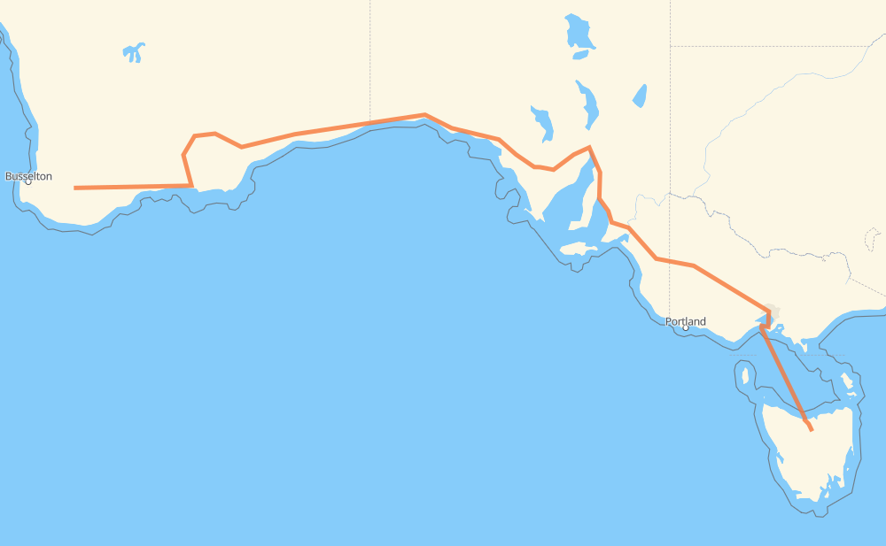
The distance from Kojonup to Deloraine is 3,854 kilometers by road including 264 kilometers on motorways. Road takes approximately 59 hours and 55 minutes and goes through Port Augusta, Murray Bridge, Horsham and Devonport.
| Shortest distance by air | 2,719 km ✈️ |
| Car route length | 3,854 km 🚗 |
| Driving time | 59 h 55 min |
| Fuel amount | 308.3 L |
| Fuel cost | 542.6 AUD |
| Point | Distance | Time | Fuel | |
| Kojonup | 0 km | 00 min | 0.0 L | |
|
30 36 km, 24 min
|
||||
| Broomehill | 36 km | 24 min | 1.5 L | |
|
120 67 km, 45 min
|
||||
| Gnowangerup | 103 km | 1 h 10 min | 6.9 L | |
|
78 km, 55 min
|
||||
| Jerramungup | 181 km | 2 h 05 min | 11.5 L | |
|
1 118 km, 1 h 20 min
|
||||
| Ravensthorpe | 300 km | 3 h 26 min | 23.6 L | |
|
1 2,037 km, 22 h 46 min
|
||||
| Port Augusta | 2,337 km | 26 h 13 min | 186.7 L | |
|
A1 380 km, 4 h 10 min
|
||||
| Murray Bridge | 2,716 km | 30 h 23 min | 217.0 L | |
|
M1 A8 342 km, 3 h 54 min
|
||||
| Horsham | 3,058 km | 34 h 18 min | 243.5 L | |
|
A8 M8 744 km, 25 h 02 min
|
||||
| Devonport | 3,803 km | 59 h 20 min | 304.2 L | |
|
1 52 km, 35 min
|
||||
| Deloraine | 3,854 km | 59 h 56 min | 308.0 L | |
Hotels of Deloraine
Frequently Asked Questions
How much does it cost to drive from Kojonup to Deloraine?
Fuel cost: 542.6 AUD
This fuel cost is calculated as: (Route length 3,854 km / 100 km) * (Fuel consumption 8 L/100 km) * (Fuel price 1.76 AUD / L)
You can adjust fuel consumption and fuel price here.
How long is a car ride from Kojonup to Deloraine?
Driving time: 59 h 55 min
This time is calculated for driving at the maximum permitted speed, taking into account traffic rules restrictions.
- 209 km with a maximum speed 110 km/h = 1 h 54 min
- 43 km with a maximum speed 100 km/h = 25 min
- 2,956 km with a maximum speed 90 km/h = 32 h 50 min
- 139 km with a maximum speed 80 km/h = 1 h 44 min
- 3 km with a maximum speed 70 km/h = 2 min
- 54 km with a maximum speed 60 km/h = 53 min
- 12 km with a maximum speed 50 km/h = 14 min
- 1 km with a maximum speed 40 km/h = 1 min
- 436 km with a maximum speed 20 km/h = 21 h 47 min
The calculated driving time does not take into account intermediate stops and traffic jams.
How far is Kojonup to Deloraine by land?
The distance between Kojonup and Deloraine is 3,854 km by road including 264 km on motorways.
Precise satellite coordinates of highways were used for this calculation. The start and finish points are the centers of Kojonup and Deloraine respectively.
How far is Kojonup to Deloraine by plane?
The shortest distance (air line, as the crow flies) between Kojonup and Deloraine is 2,719 km.
This distance is calculated using the Haversine formula as a great-circle distance between two points on the surface of a sphere. The start and finish points are the centers of Kojonup and Deloraine respectively. Actual distance between airports may be different.
How many hours is Kojonup from Deloraine by plane?
Boeing 737 airliner needs 3 h 23 min to cover the distance of 2,719 km at a cruising speed of 800 km/h.
Small plane "Cessna 172" needs 12 h 21 min to flight this distance at average speed of 220 km/h.
This time is approximate and do not take into account takeoff and landing times, airport location and other real world factors.
How long is a helicopter ride from Kojonup to Deloraine?
Fast helicopter "Eurocopter AS350" or "Hughes OH-6 Cayuse" need 11 h 19 min to cover the distance of 2,719 km at a cruising speed of 240 km/h.
Popular "Robinson R44" needs 12 h 56 min to flight this distance at average speed of 210 km/h.
This time is approximate and do not take into account takeoff and landing times, aerodrome location and other real world factors.
What city is halfway between Kojonup and Deloraine?
The halfway point between Kojonup and Deloraine is Ceduna. It is located about 49 km from the exact midpoint by road.
The distance from Ceduna to Kojonup is 1,878 km and driving will take about 21 h 3 min. The road between Ceduna and Deloraine has length 1,976 km and will take approximately 38 h 52 min.
The other cities located close to halfway point:
Where is Kojonup in relation to Deloraine?
Kojonup is located 2,719 km west of Deloraine.
Kojonup has geographic coordinates: latitude -33.83426, longitude 117.15926.
Deloraine has geographic coordinates: latitude -41.52509, longitude 146.65993.
Which highway goes from Kojonup to Deloraine?
The route from Kojonup to Deloraine follows A1, 1, A8, M8.
Other minor sections pass along the road:
- M1: 77 km
- M2: 19 km
- B57: 10 km
- R1: 7 km
- 356: 5 km
- 120: 5 km
- M80: 3 km
- A2: 2 km
- A200: 1 km
- B12: 1 km