Distance between mahalle ? and Örenlice
The distance from mahalle ? to Örenlice is 69 kilometers by road. Road takes approximately 1 hour and 3 minutes and goes through İmpala, Altınkaya, Çorakyüzü and Ayvacık.
| Shortest distance by air | 9 km ✈️ |
| Car route length | 69 km 🚗 |
| Driving time | 1 h 3 min |
| Fuel amount | 5.5 L |
| Fuel cost | 9.9 AUD |
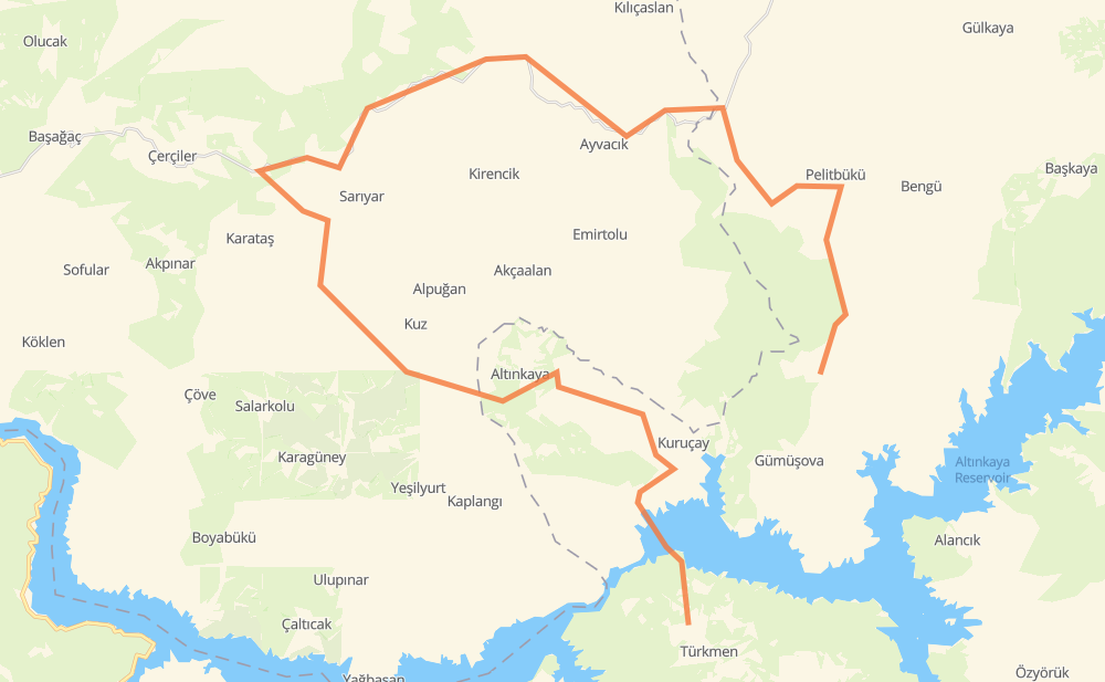
| Point | Distance | Time | Fuel | |
| mahalle ? | 0 km | 00 min | 0.0 L | |
|
10 km, 14 min
|
||||
| İmpala | 10 km | 14 min | 0.5 L | |
|
8 km, 07 min
|
||||
| Altınkaya | 18 km | 22 min | 1.4 L | |
|
17 km, 12 min
|
||||
| Çorakyüzü | 34 km | 34 min | 2.7 L | |
|
57-50 16 km, 10 min
|
||||
| Ayvacık | 51 km | 45 min | 3.9 L | |
|
57-50 55-78 19 km, 17 min
|
||||
| Örenlice | 69 km | 1 h 03 min | 4.9 L | |
Frequently Asked Questions
How much does it cost to drive from mahalle ? to Örenlice?
Fuel cost: 9.9 AUD
This fuel cost is calculated as: (Route length 69 km / 100 km) * (Fuel consumption 8 L/100 km) * (Fuel price 1.78 AUD / L)
You can adjust fuel consumption and fuel price here.
How long is a car ride from mahalle ? to Örenlice?
Driving time: 1 h 3 min
This time is calculated for driving at the maximum permitted speed, taking into account traffic rules restrictions.
- 15 km with a maximum speed 90 km/h = 9 min
- 32 km with a maximum speed 80 km/h = 24 min
- 20 km with a maximum speed 50 km/h = 24 min
- 2 km with a maximum speed 20 km/h = 5 min
The calculated driving time does not take into account intermediate stops and traffic jams.
How far is mahalle ? to Örenlice by land?
The distance between mahalle ? and Örenlice is 69 km by road.
Precise satellite coordinates of highways were used for this calculation. The start and finish points are the centers of mahalle ? and Örenlice respectively.
What city is halfway between mahalle ? and Örenlice?
Where is mahalle ? in relation to Örenlice?
mahalle ? is located 9 km south-west of Örenlice.
mahalle ? has geographic coordinates: latitude 41.25794, longitude 35.43533.
Örenlice has geographic coordinates: latitude 41.33056, longitude 35.48619.
Which highway goes from mahalle ? to Örenlice?
The route from mahalle ? to Örenlice follows 57-50.
Other minor sections pass along the road:
- 55-78: 1 km