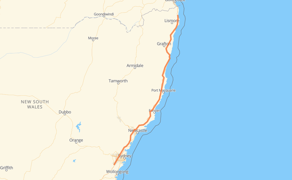
The distance from Menangle Park to Billinudgel is 806 kilometers by road including 685 kilometers on motorways. Road takes approximately 8 hours and goes through Coffs Harbour, Gilead, Glen Alpine, Campbelltown, Blair Athol, Leumeah and Woodbine.
How much does it cost to drive from Menangle Park to Billinudgel?
Fuel cost:
116.7 AUD
This fuel cost is calculated as: (Route length 806 km / 100 km) * (Fuel consumption 8 L/100 km) * (Fuel price 1.81 AUD / L)
You can adjust fuel consumption and fuel price here.
How long is a car ride from Menangle Park to Billinudgel?
Driving time:
8 h
This time is calculated for driving at the maximum permitted speed, taking into account traffic rules restrictions.
583 km with a maximum speed 110 km/h = 5 h 17 min
91 km with a maximum speed 100 km/h = 54 min
37 km with a maximum speed 90 km/h = 24 min
38 km with a maximum speed 80 km/h = 28 min
31 km with a maximum speed 70 km/h = 26 min
19 km with a maximum speed 60 km/h = 19 min
7 km with a maximum speed 50 km/h = 8 min
The calculated driving time does not take into account intermediate stops and traffic jams.
How far is Menangle Park to Billinudgel by land?
The distance between Menangle Park and Billinudgel is 806 km by road including 685 km on motorways.
Precise satellite coordinates of highways were used for this calculation. The start and finish points are the centers of Menangle Park and Billinudgel respectively.
How far is Menangle Park to Billinudgel by plane?
The shortest distance (air line, as the crow flies) between Menangle Park and Billinudgel is 676 km.
This distance is calculated using the Haversine formula as a great-circle distance between two points on the surface of a sphere. The start and finish points are the centers of Menangle Park and Billinudgel respectively. Actual distance between airports may be different.
How many hours is Menangle Park from Billinudgel by plane?
Boeing 737 airliner needs 50 min to cover the distance of 676 km at a cruising speed of 800 km/h.
Small plane "Cessna 172" needs 3 h 4 min to flight this distance at average speed of 220 km/h.
This time is approximate and do not take into account takeoff and landing times, airport location and other real world factors.
How long is a helicopter ride from Menangle Park to Billinudgel?
Fast helicopter "Eurocopter AS350" or "Hughes OH-6 Cayuse" need 2 h 49 min to cover the distance of 676 km at a cruising speed of 240 km/h.
Popular "Robinson R44" needs 3 h 13 min to flight this distance at average speed of 210 km/h.
This time is approximate and do not take into account takeoff and landing times, aerodrome location and other real world factors.
What city is halfway between Menangle Park and Billinudgel?
The halfway point between Menangle Park and Billinudgel is Herons Creek. It is located about 2 km from the exact midpoint by road.
The distance from Herons Creek to Menangle Park is 401 km and driving will take about 4 h 1 min. The road between Herons Creek and Billinudgel has length 405 km and will take approximately 3 h 59 min.
The other cities located close to halfway point:
Kew is in 396 km from Menangle Park and 410 km from Billinudgel
Sovereign Hills is in 417 km from Menangle Park and 389 km from Billinudgel
Johns River is in 381 km from Menangle Park and 424 km from Billinudgel
Where is Menangle Park in relation to Billinudgel?
Menangle Park is located 676 km south-west of Billinudgel.
Menangle Park has geographic coordinates: latitude -34.10341, longitude 150.74685.
Billinudgel has geographic coordinates: latitude -28.50385, longitude 153.52636.
Which highway goes from Menangle Park to Billinudgel?
The route from Menangle Park to Billinudgel follows M1, A1.