Distance between Olary and Nairne
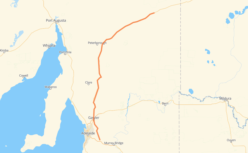
The distance from Olary to Nairne is 414 kilometers by road. Road takes approximately 4 hours and 51 minutes and goes through Gawler, Burra, Saddleworth, Riverton, Bibaringa, Evanston Park and One Tree Hill.
| Shortest distance by air | 333 km ✈️ |
| Car route length | 414 km 🚗 |
| Driving time | 4 h 51 min |
| Fuel amount | 33.1 L |
| Fuel cost | 58.3 AUD |
| Point | Distance | Time | Fuel | |
| Olary | 0 km | 00 min | 0.0 L | |
|
A32 241 km, 2 h 43 min
|
||||
| Burra | 241 km | 2 h 43 min | 18.4 L | |
|
A32 47 km, 32 min
|
||||
| Saddleworth | 289 km | 3 h 15 min | 22.8 L | |
|
A32 12 km, 08 min
|
||||
| Riverton | 301 km | 3 h 24 min | 23.4 L | |
|
A32 52 km, 37 min
|
||||
| Gawler | 352 km | 4 h 01 min | 28.1 L | |
|
B19 6 km, 05 min
|
||||
| Bibaringa | 358 km | 4 h 06 min | 28.4 L | |
|
7 km, 05 min
|
||||
| One Tree Hill | 366 km | 4 h 12 min | 29.1 L | |
|
9 km, 06 min
|
||||
| Kersbrook | 375 km | 4 h 19 min | 29.4 L | |
|
B31 20 km, 15 min
|
||||
| Lobethal | 396 km | 4 h 34 min | 31.4 L | |
|
B27 B34 18 km, 16 min
|
||||
| Nairne | 414 km | 4 h 50 min | 32.8 L | |
Frequently Asked Questions
How much does it cost to drive from Olary to Nairne?
Fuel cost: 58.3 AUD
This fuel cost is calculated as: (Route length 414 km / 100 km) * (Fuel consumption 8 L/100 km) * (Fuel price 1.76 AUD / L)
You can adjust fuel consumption and fuel price here.
How long is a car ride from Olary to Nairne?
Driving time: 4 h 51 min
This time is calculated for driving at the maximum permitted speed, taking into account traffic rules restrictions.
- 336 km with a maximum speed 90 km/h = 3 h 44 min
- 54 km with a maximum speed 80 km/h = 40 min
- 10 km with a maximum speed 60 km/h = 10 min
- 13 km with a maximum speed 50 km/h = 15 min
The calculated driving time does not take into account intermediate stops and traffic jams.
How far is Olary to Nairne by land?
The distance between Olary and Nairne is 414 km by road.
Precise satellite coordinates of highways were used for this calculation. The start and finish points are the centers of Olary and Nairne respectively.
How far is Olary to Nairne by plane?
The shortest distance (air line, as the crow flies) between Olary and Nairne is 333 km.
This distance is calculated using the Haversine formula as a great-circle distance between two points on the surface of a sphere. The start and finish points are the centers of Olary and Nairne respectively. Actual distance between airports may be different.
How many hours is Olary from Nairne by plane?
Boeing 737 airliner needs 24 min to cover the distance of 333 km at a cruising speed of 800 km/h.
Small plane "Cessna 172" needs 1 h 30 min to flight this distance at average speed of 220 km/h.
This time is approximate and do not take into account takeoff and landing times, airport location and other real world factors.
How long is a helicopter ride from Olary to Nairne?
Fast helicopter "Eurocopter AS350" or "Hughes OH-6 Cayuse" need 1 h 23 min to cover the distance of 333 km at a cruising speed of 240 km/h.
Popular "Robinson R44" needs 1 h 35 min to flight this distance at average speed of 210 km/h.
This time is approximate and do not take into account takeoff and landing times, aerodrome location and other real world factors.
What city is halfway between Olary and Nairne?
Where is Olary in relation to Nairne?
Olary is located 333 km north-east of Nairne.
Olary has geographic coordinates: latitude -32.27959, longitude 140.3254.
Nairne has geographic coordinates: latitude -35.0364, longitude 138.90959.
Which highway goes from Olary to Nairne?
The route from Olary to Nairne follows A32.
Other minor sections pass along the road:
- B31: 7 km
- B64: 7 km
- B34: 3 km