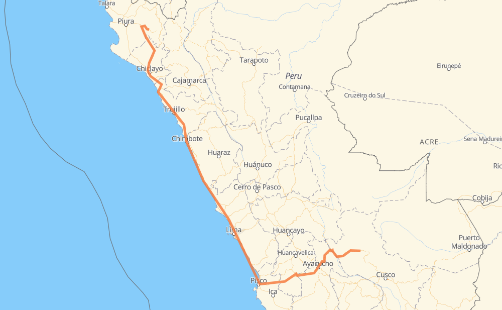
The distance from Palosontuyoc to Malacasi is 1,953 kilometers by road including 226 kilometers on motorways. Road takes approximately 26 hours and 11 minutes and goes through Ayacucho, Chimbote, Trujillo, Guadalupe and Chiclayo.
How much does it cost to drive from Palosontuyoc to Malacasi?
Fuel cost:
278.1 AUD
This fuel cost is calculated as: (Route length 1,953 km / 100 km) * (Fuel consumption 8 L/100 km) * (Fuel price 1.78 AUD / L)
You can adjust fuel consumption and fuel price here.
How long is a car ride from Palosontuyoc to Malacasi?
Driving time:
26 h 11 min
This time is calculated for driving at the maximum permitted speed, taking into account traffic rules restrictions.
161 km with a maximum speed 100 km/h = 1 h 36 min
547 km with a maximum speed 90 km/h = 6 h 4 min
839 km with a maximum speed 80 km/h = 10 h 28 min
67 km with a maximum speed 70 km/h = 57 min
246 km with a maximum speed 60 km/h = 4 h 6 min
7 km with a maximum speed 55 km/h = 7 min
81 km with a maximum speed 50 km/h = 1 h 37 min
13 km with a maximum speed 45 km/h = 16 min
19 km with a maximum speed 40 km/h = 28 min
9 km with a maximum speed 35 km/h = 15 min
4 km with a maximum speed 30 km/h = 7 min
1 km with a maximum speed 20 km/h = 1 min
The calculated driving time does not take into account intermediate stops and traffic jams.
How far is Palosontuyoc to Malacasi by land?
The distance between Palosontuyoc and Malacasi is 1,953 km by road including 226 km on motorways.
Precise satellite coordinates of highways were used for this calculation. The start and finish points are the centers of Palosontuyoc and Malacasi respectively.
How far is Palosontuyoc to Malacasi by plane?
The shortest distance (air line, as the crow flies) between Palosontuyoc and Malacasi is 1,119 km.
This distance is calculated using the Haversine formula as a great-circle distance between two points on the surface of a sphere. The start and finish points are the centers of Palosontuyoc and Malacasi respectively. Actual distance between airports may be different.
How many hours is Palosontuyoc from Malacasi by plane?
Boeing 737 airliner needs 1 h 23 min to cover the distance of 1,119 km at a cruising speed of 800 km/h.
Small plane "Cessna 172" needs 5 h 5 min to flight this distance at average speed of 220 km/h.
This time is approximate and do not take into account takeoff and landing times, airport location and other real world factors.
How long is a helicopter ride from Palosontuyoc to Malacasi?
Fast helicopter "Eurocopter AS350" or "Hughes OH-6 Cayuse" need 4 h 39 min to cover the distance of 1,119 km at a cruising speed of 240 km/h.
Popular "Robinson R44" needs 5 h 19 min to flight this distance at average speed of 210 km/h.
This time is approximate and do not take into account takeoff and landing times, aerodrome location and other real world factors.
What city is halfway between Palosontuyoc and Malacasi?
The halfway point between Palosontuyoc and Malacasi is Monterrico. It is located about 2 km from the exact midpoint by road.
The distance from Monterrico to Palosontuyoc is 974 km and driving will take about 12 h 29 min. The road between Monterrico and Malacasi has length 979 km and will take approximately 13 h 42 min.
The other cities located close to halfway point:
Los Olivos is in 995 km from Palosontuyoc and 958 km from Malacasi
Comas is in 998 km from Palosontuyoc and 954 km from Malacasi
Lurín is in 947 km from Palosontuyoc and 1,006 km from Malacasi
Where is Palosontuyoc in relation to Malacasi?
Palosontuyoc is located 1,119 km south-east of Malacasi.
Palosontuyoc has geographic coordinates: latitude -12.61706, longitude -72.80957.
Malacasi has geographic coordinates: latitude -5.34279, longitude -79.85732.
Which highway goes from Palosontuyoc to Malacasi?
The route from Palosontuyoc to Malacasi follows PE-1N, PE-28B, PE-28A, PE-1NJ, PE-1S.