Distance between Piranga and Capinópolis
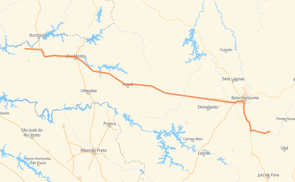
The distance from Piranga to Capinópolis is 857 kilometers by road including 247 kilometers on motorways. Road takes approximately 9 hours and 48 minutes and goes through Conselheiro Lafaiete, Betim, Aconchego da Serra, Alphaville, Vale do Sol, PTB and Pará de Minas.
| Shortest distance by air | 693 km ✈️ |
| Car route length | 857 km 🚗 |
| Driving time | 9 h 48 min |
| Fuel amount | 68.6 L |
| Fuel cost | 122 AUD |
| Point | Distance | Time | Fuel | |
| Piranga | 0 km | 00 min | 0.0 L | |
|
MGC-482 62 km, 47 min
|
||||
| Conselheiro Lafaiete | 62 km | 47 min | 3.6 L | |
|
MGC-482 BR-040 65 km, 46 min
|
||||
| Aconchego da Serra | 127 km | 1 h 34 min | 9.8 L | |
|
BR-040 10 km, 07 min
|
||||
| Alphaville | 137 km | 1 h 41 min | 10.7 L | |
|
BR-040 7 km, 04 min
|
||||
| Vale do Sol | 144 km | 1 h 45 min | 11.2 L | |
|
BR-040 36 km, 26 min
|
||||
| PTB | 180 km | 2 h 11 min | 14.3 L | |
|
BR-381 9 km, 05 min
|
||||
| Betim | 188 km | 2 h 16 min | 14.5 L | |
|
BR-262 47 km, 28 min
|
||||
| Pará de Minas | 235 km | 2 h 45 min | 18.5 L | |
|
BR-262 42 km, 23 min
|
||||
| Nova Serrana | 277 km | 3 h 08 min | 21.8 L | |
|
BR-262 582 km, 6 h 39 min
|
||||
| Capinópolis | 859 km | 9 h 48 min | 67.0 L | |
Frequently Asked Questions
How much does it cost to drive from Piranga to Capinópolis?
Fuel cost: 122 AUD
This fuel cost is calculated as: (Route length 857 km / 100 km) * (Fuel consumption 8 L/100 km) * (Fuel price 1.78 AUD / L)
You can adjust fuel consumption and fuel price here.
How long is a car ride from Piranga to Capinópolis?
Driving time: 9 h 48 min
This time is calculated for driving at the maximum permitted speed, taking into account traffic rules restrictions.
- 209 km with a maximum speed 110 km/h = 1 h 54 min
- 6 km with a maximum speed 100 km/h = 3 min
- 330 km with a maximum speed 90 km/h = 3 h 40 min
- 266 km with a maximum speed 80 km/h = 3 h 19 min
- 12 km with a maximum speed 70 km/h = 10 min
- 28 km with a maximum speed 60 km/h = 28 min
- 5 km with a maximum speed 40 km/h = 6 min
- 2 km with a maximum speed 30 km/h = 4 min
The calculated driving time does not take into account intermediate stops and traffic jams.
How far is Piranga to Capinópolis by land?
The distance between Piranga and Capinópolis is 857 km by road including 247 km on motorways.
Precise satellite coordinates of highways were used for this calculation. The start and finish points are the centers of Piranga and Capinópolis respectively.
How far is Piranga to Capinópolis by plane?
The shortest distance (air line, as the crow flies) between Piranga and Capinópolis is 693 km.
This distance is calculated using the Haversine formula as a great-circle distance between two points on the surface of a sphere. The start and finish points are the centers of Piranga and Capinópolis respectively. Actual distance between airports may be different.
How many hours is Piranga from Capinópolis by plane?
Boeing 737 airliner needs 51 min to cover the distance of 693 km at a cruising speed of 800 km/h.
Small plane "Cessna 172" needs 3 h 9 min to flight this distance at average speed of 220 km/h.
This time is approximate and do not take into account takeoff and landing times, airport location and other real world factors.
How long is a helicopter ride from Piranga to Capinópolis?
Fast helicopter "Eurocopter AS350" or "Hughes OH-6 Cayuse" need 2 h 53 min to cover the distance of 693 km at a cruising speed of 240 km/h.
Popular "Robinson R44" needs 3 h 18 min to flight this distance at average speed of 210 km/h.
This time is approximate and do not take into account takeoff and landing times, aerodrome location and other real world factors.
What city is halfway between Piranga and Capinópolis?
The halfway point between Piranga and Capinópolis is Luz. It is located about 63 km from the exact midpoint by road.
The distance from Luz to Piranga is 366 km and driving will take about 4 h 17 min. The road between Luz and Capinópolis has length 491 km and will take approximately 5 h 30 min.
The other cities located close to halfway point:
Where is Piranga in relation to Capinópolis?
Piranga is located 693 km south-east of Capinópolis.
Piranga has geographic coordinates: latitude -20.685, longitude -43.3.
Capinópolis has geographic coordinates: latitude -18.68278, longitude -49.56972.
Which highway goes from Piranga to Capinópolis?
The route from Piranga to Capinópolis follows BR-262, BR-452.
Other minor sections pass along the road:
- BR-365: 93 km
- BR-040: 92 km
- MGC-482: 70 km
- BR-482: 70 km
- MG-226: 51 km
- BR-153: 25 km
- BR-381: 23 km
- BR-356: 19 km
- BR-354: 12 km
- BR-050: 5 km