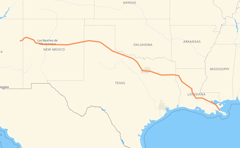
The distance from Port Sulphur to Sanders is 2,216 kilometers by road including 1,671 kilometers on motorways. Road takes approximately 22 hours and 22 minutes and goes through New Orleans, Baton Rouge, Alexandria, Longview, Dallas, Mesquite and Irving.
How much does it cost to drive from Port Sulphur to Sanders?
Fuel cost:
319.1 AUD
This fuel cost is calculated as: (Route length 2,216 km / 100 km) * (Fuel consumption 8 L/100 km) * (Fuel price 1.8 AUD / L)
You can adjust fuel consumption and fuel price here.
How long is a car ride from Port Sulphur to Sanders?
Driving time:
22 h 22 min
This time is calculated for driving at the maximum permitted speed, taking into account traffic rules restrictions.
1,082 km with a maximum speed 110 km/h = 9 h 49 min
79 km with a maximum speed 105 km/h = 45 min
325 km with a maximum speed 100 km/h = 3 h 14 min
82 km with a maximum speed 97 km/h = 50 min
312 km with a maximum speed 90 km/h = 3 h 28 min
21 km with a maximum speed 89 km/h = 13 min
4 km with a maximum speed 80 km/h = 2 min
293 km with a maximum speed 80 km/h = 3 h 39 min
17 km with a maximum speed 72 km/h = 14 min
2 km with a maximum speed 64 km/h = 1 min
The calculated driving time does not take into account intermediate stops and traffic jams.
How far is Port Sulphur to Sanders by land?
The distance between Port Sulphur and Sanders is 2,216 km by road including 1,671 km on motorways.
Precise satellite coordinates of highways were used for this calculation. The start and finish points are the centers of Port Sulphur and Sanders respectively.
How far is Port Sulphur to Sanders by plane?
The shortest distance (air line, as the crow flies) between Port Sulphur and Sanders is 1,949 km.
This distance is calculated using the Haversine formula as a great-circle distance between two points on the surface of a sphere. The start and finish points are the centers of Port Sulphur and Sanders respectively. Actual distance between airports may be different.
How many hours is Port Sulphur from Sanders by plane?
Boeing 737 airliner needs 2 h 26 min to cover the distance of 1,949 km at a cruising speed of 800 km/h.
Small plane "Cessna 172" needs 8 h 51 min to flight this distance at average speed of 220 km/h.
This time is approximate and do not take into account takeoff and landing times, airport location and other real world factors.
How long is a helicopter ride from Port Sulphur to Sanders?
Fast helicopter "Eurocopter AS350" or "Hughes OH-6 Cayuse" need 8 h 7 min to cover the distance of 1,949 km at a cruising speed of 240 km/h.
Popular "Robinson R44" needs 9 h 16 min to flight this distance at average speed of 210 km/h.
This time is approximate and do not take into account takeoff and landing times, aerodrome location and other real world factors.
What city is halfway between Port Sulphur and Sanders?
The halfway point between Port Sulphur and Sanders is Raymond. It is located about 4 km from the exact midpoint by road.
The distance from Raymond to Port Sulphur is 1,104 km and driving will take about 11 h 20 min. The road between Raymond and Sanders has length 1,113 km and will take approximately 11 h 1 min.
The other cities located close to halfway point:
Wichita Falls is in 1,118 km from Port Sulphur and 1,098 km from Sanders
Jolly is in 1,095 km from Port Sulphur and 1,121 km from Sanders
Frame is in 1,085 km from Port Sulphur and 1,131 km from Sanders
Where is Port Sulphur in relation to Sanders?
Port Sulphur is located 1,949 km south-east of Sanders.
Port Sulphur has geographic coordinates: latitude 29.48049, longitude -89.69395.
Sanders has geographic coordinates: latitude 35.21641, longitude -109.33371.
Which highway goes from Port Sulphur to Sanders?
The route from Port Sulphur to Sanders follows I 40, US 287, I 49, I 20, I 10.