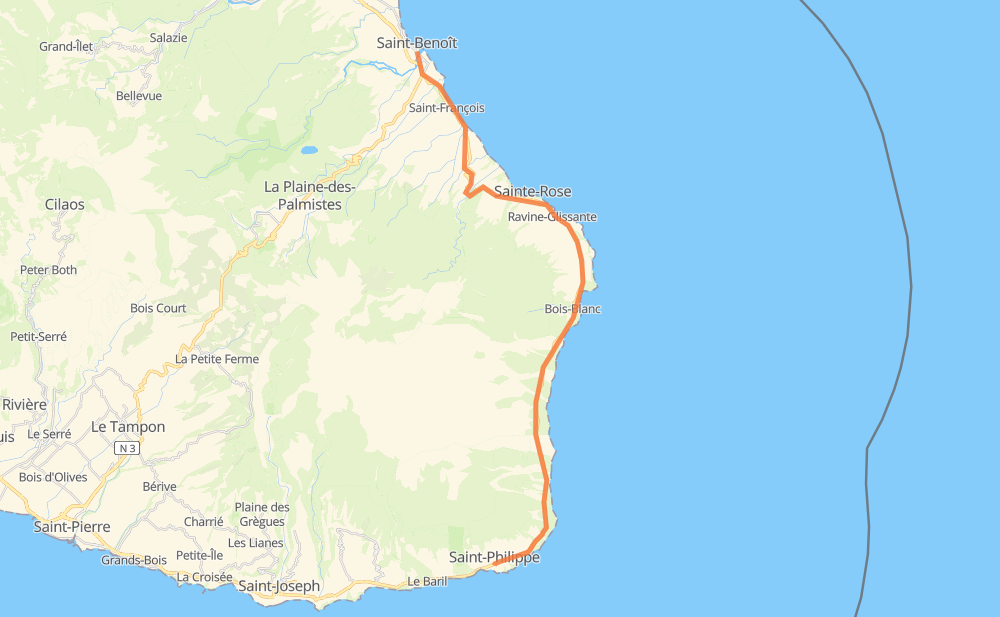
Distance between Saint-Benoît and Saint-Philippe
The distance from Saint-Benoît to Saint-Philippe is 51 kilometers by road. Road takes approximately 51 minutes and goes through Sainte-Rose and Piton Sainte-Rose.
| Shortest distance by air | 37 km ✈️ |
| Car route length | 51 km 🚗 |
| Driving time | 51 min |
| Fuel amount | 4 L |
| Fuel cost | 7.3 AUD |
| Point | Distance | Time | Fuel | |
| Saint-Benoît | 0 km | 00 min | 0.0 L | |
|
N 2 27 km, 25 min
|
||||
| Sainte-Rose | 27 km | 25 min | 1.1 L | |
|
N 2 25 km, 25 min
|
||||
| Saint-Philippe | 52 km | 51 min | 3.2 L | |
Frequently Asked Questions
How much does it cost to drive from Saint-Benoît to Saint-Philippe?
Fuel cost: 7.3 AUD
This fuel cost is calculated as: (Route length 51 km / 100 km) * (Fuel consumption 8 L/100 km) * (Fuel price 1.81 AUD / L)
You can adjust fuel consumption and fuel price here.
How long is a car ride from Saint-Benoît to Saint-Philippe?
Driving time: 51 min
This time is calculated for driving at the maximum permitted speed, taking into account traffic rules restrictions.
- 6 km with a maximum speed 90 km/h = 3 min
- 9 km with a maximum speed 80 km/h = 6 min
- 11 km with a maximum speed 70 km/h = 9 min
- 26 km with a maximum speed 50 km/h = 31 min
The calculated driving time does not take into account intermediate stops and traffic jams.
How far is Saint-Benoît to Saint-Philippe by land?
The distance between Saint-Benoît and Saint-Philippe is 51 km by road.
Precise satellite coordinates of highways were used for this calculation. The start and finish points are the centers of Saint-Benoît and Saint-Philippe respectively.
How far is Saint-Benoît to Saint-Philippe by plane?
The shortest distance (air line, as the crow flies) between Saint-Benoît and Saint-Philippe is 37 km.
This distance is calculated using the Haversine formula as a great-circle distance between two points on the surface of a sphere. The start and finish points are the centers of Saint-Benoît and Saint-Philippe respectively. Actual distance between airports may be different.
How many hours is Saint-Benoît from Saint-Philippe by plane?
Boeing 737 airliner needs 2 min to cover the distance of 37 km at a cruising speed of 800 km/h.
Small plane "Cessna 172" needs 10 min to flight this distance at average speed of 220 km/h.
This time is approximate and do not take into account takeoff and landing times, airport location and other real world factors.
How long is a helicopter ride from Saint-Benoît to Saint-Philippe?
Fast helicopter "Eurocopter AS350" or "Hughes OH-6 Cayuse" need 9 min to cover the distance of 37 km at a cruising speed of 240 km/h.
Popular "Robinson R44" needs 10 min to flight this distance at average speed of 210 km/h.
This time is approximate and do not take into account takeoff and landing times, aerodrome location and other real world factors.
What city is halfway between Saint-Benoît and Saint-Philippe?
The halfway point between Saint-Benoît and Saint-Philippe is Sainte-Rose. It is located about 2 km from the exact midpoint by road.
The distance from Sainte-Rose to Saint-Benoît is 27 km and driving will take about 25 min. The road between Sainte-Rose and Saint-Philippe has length 24 km and will take approximately 25 min.
Where is Saint-Benoît in relation to Saint-Philippe?
Saint-Benoît is located 37 km north of Saint-Philippe.
Saint-Benoît has geographic coordinates: latitude -21.03319, longitude 55.71315.
Saint-Philippe has geographic coordinates: latitude -21.36062, longitude 55.76606.
Which highway goes from Saint-Benoît to Saint-Philippe?
The route from Saint-Benoît to Saint-Philippe follows N 2.