Distance between Santa Eulalia del Río and Ciudadela
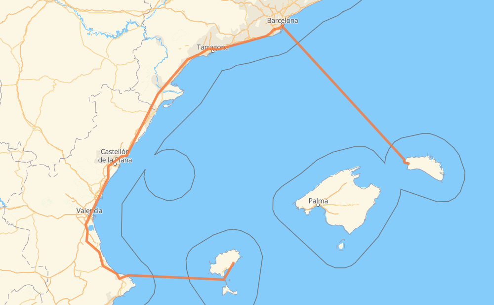
The distance from Santa Eulalia del Río to Ciudadela is 808 kilometers by road including 430 kilometers on motorways. Road takes approximately 21 hours and 27 minutes and goes through Castellón de la Plana, Ibiza city, Pamis, Marxuquera Baixa, Alfinach, Sagunto and EL Punt del Cid.
| Shortest distance by air | 228 km ✈️ |
| Car route length | 808 km 🚗 |
| Driving time | 21 h 27 min |
| Fuel amount | 64.7 L |
| Fuel cost | 117.1 AUD |
| Point | Distance | Time | Fuel | |
| Santa Eulalia del Río | 0 km | 00 min | 0.0 L | |
|
PM-810 C-733 14 km, 12 min
|
||||
| Ibiza city | 14 km | 12 min | 0.9 L | |
|
C-733 CV-725 139 km, 6 h 26 min
|
||||
| Pamis | 153 km | 6 h 38 min | 12.2 L | |
|
AP-7 29 km, 18 min
|
||||
| Marxuquera Baixa | 182 km | 6 h 56 min | 14.3 L | |
|
AP-7 87 km, 52 min
|
||||
| Alfinach | 269 km | 7 h 49 min | 21.5 L | |
|
V-21 A-7 5 km, 02 min
|
||||
| Sagunto | 274 km | 7 h 52 min | 21.6 L | |
|
A-7 AP-7 15 km, 08 min
|
||||
| EL Punt del Cid | 289 km | 8 h 00 min | 22.7 L | |
|
AP-7 23 km, 12 min
|
||||
| Virgen de Gracia | 311 km | 8 h 12 min | 24.6 L | |
|
AP-7 10 km, 05 min
|
||||
| Urbanización La Coma | 321 km | 8 h 18 min | 25.5 L | |
|
AP-7 487 km, 13 h 09 min
|
||||
| Ciudadela | 808 km | 21 h 27 min | 64.6 L | |
Hotels of Ciudadela
Frequently Asked Questions
How much does it cost to drive from Santa Eulalia del Río to Ciudadela?
Fuel cost: 117.1 AUD
This fuel cost is calculated as: (Route length 808 km / 100 km) * (Fuel consumption 8 L/100 km) * (Fuel price 1.81 AUD / L)
You can adjust fuel consumption and fuel price here.
How long is a car ride from Santa Eulalia del Río to Ciudadela?
Driving time: 21 h 27 min
This time is calculated for driving at the maximum permitted speed, taking into account traffic rules restrictions.
- 318 km with a maximum speed 110 km/h = 2 h 53 min
- 79 km with a maximum speed 100 km/h = 47 min
- 29 km with a maximum speed 90 km/h = 19 min
- 34 km with a maximum speed 80 km/h = 25 min
- 2 km with a maximum speed 70 km/h = 1 min
- 4 km with a maximum speed 60 km/h = 3 min
- 6 km with a maximum speed 50 km/h = 7 min
- 1 km with a maximum speed 30 km/h = 1 min
- 336 km with a maximum speed 20 km/h = 16 h 48 min
The calculated driving time does not take into account intermediate stops and traffic jams.
How far is Santa Eulalia del Río to Ciudadela by land?
The distance between Santa Eulalia del Río and Ciudadela is 808 km by road including 430 km on motorways.
Precise satellite coordinates of highways were used for this calculation. The start and finish points are the centers of Santa Eulalia del Río and Ciudadela respectively.
How far is Santa Eulalia del Río to Ciudadela by plane?
The shortest distance (air line, as the crow flies) between Santa Eulalia del Río and Ciudadela is 228 km.
This distance is calculated using the Haversine formula as a great-circle distance between two points on the surface of a sphere. The start and finish points are the centers of Santa Eulalia del Río and Ciudadela respectively. Actual distance between airports may be different.
How many hours is Santa Eulalia del Río from Ciudadela by plane?
Boeing 737 airliner needs 17 min to cover the distance of 228 km at a cruising speed of 800 km/h.
Small plane "Cessna 172" needs 1 h 2 min to flight this distance at average speed of 220 km/h.
This time is approximate and do not take into account takeoff and landing times, airport location and other real world factors.
How long is a helicopter ride from Santa Eulalia del Río to Ciudadela?
Fast helicopter "Eurocopter AS350" or "Hughes OH-6 Cayuse" need 57 min to cover the distance of 228 km at a cruising speed of 240 km/h.
Popular "Robinson R44" needs 1 h 5 min to flight this distance at average speed of 210 km/h.
This time is approximate and do not take into account takeoff and landing times, aerodrome location and other real world factors.
What city is halfway between Santa Eulalia del Río and Ciudadela?
The halfway point between Santa Eulalia del Río and Ciudadela is Ulldecona. It is located about 2 km from the exact midpoint by road.
The distance from Ulldecona to Santa Eulalia del Río is 406 km and driving will take about 9 h 4 min. The road between Ulldecona and Ciudadela has length 402 km and will take approximately 12 h 23 min.
The other cities located close to halfway point:
Where is Santa Eulalia del Río in relation to Ciudadela?
Santa Eulalia del Río is located 228 km south-west of Ciudadela.
Santa Eulalia del Río has geographic coordinates: latitude 38.98471, longitude 1.53436.
Ciudadela has geographic coordinates: latitude 40.00068, longitude 3.8356.
Which highway goes from Santa Eulalia del Río to Ciudadela?
The route from Santa Eulalia del Río to Ciudadela follows AP-7.
Other minor sections pass along the road:
- C-32: 53 km
- V-21: 19 km
- V-31: 12 km
- A-7: 8 km
- CV-725: 7 km
- B-10: 7 km
- PM-810: 6 km
- C-733: 5 km
- B-20: 3 km
- EI-300: 1 km
- VSE: 1 km