Distance between Toad River BC and Fairbanks AK
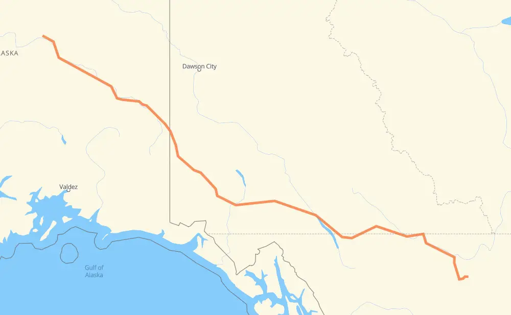
The distance from Toad River to Fairbanks is 1,707 kilometers by road including 16 kilometers on motorways. Road takes approximately 19 hours and 33 minutes and goes through Whitehorse, Fort Halkett, Lower Post, Watson Lake, Porter Creek and North Pole.
| Shortest distance by air | 1,345 km ✈️ |
| Car route length | 1,707 km 🚗 |
| Driving time | 19 h 33 min |
| Fuel amount | 136.6 L |
| Fuel cost | 243.1 AUD |
| Point | Distance | Time | Fuel | |
| Toad River | 0 km | 00 min | 0.0 L | |
|
97 145 km, 1 h 40 min
|
||||
| Fort Halkett | 145 km | 1 h 40 min | 9.2 L | |
|
97 153 km, 1 h 45 min
|
||||
| Lower Post | 298 km | 3 h 25 min | 22.6 L | |
|
97 1 27 km, 19 min
|
||||
| Watson Lake | 324 km | 3 h 45 min | 25.7 L | |
|
1 274 km, 3 h 04 min
|
||||
| Teslin | 598 km | 6 h 49 min | 46.7 L | |
|
1 161 km, 1 h 55 min
|
||||
| Whitehorse | 760 km | 8 h 44 min | 60.3 L | |
|
1 9 km, 06 min
|
||||
| Porter Creek | 769 km | 8 h 51 min | 61.3 L | |
|
1 146 km, 1 h 47 min
|
||||
| Haines Junction | 915 km | 10 h 39 min | 70.8 L | |
|
1 AK 2 770 km, 8 h 39 min
|
||||
| North Pole | 1,685 km | 19 h 18 min | 134.7 L | |
|
AK 2 22 km, 14 min
|
||||
| Fairbanks | 1,707 km | 19 h 33 min | 136.5 L | |
Hotels of Fairbanks
Frequently Asked Questions
How much does it cost to drive from Toad River to Fairbanks?
Fuel cost: 243.1 AUD
This fuel cost is calculated as: (Route length 1,707 km / 100 km) * (Fuel consumption 8 L/100 km) * (Fuel price 1.78 AUD / L)
You can adjust fuel consumption and fuel price here.
How long is a car ride from Toad River to Fairbanks?
Driving time: 19 h 33 min
This time is calculated for driving at the maximum permitted speed, taking into account traffic rules restrictions.
- 2 km with a maximum speed 100 km/h = 1 min
- 11 km with a maximum speed 97 km/h = 6 min
- 1,264 km with a maximum speed 90 km/h = 14 h 2 min
- 13 km with a maximum speed 89 km/h = 8 min
- 407 km with a maximum speed 80 km/h = 5 h 5 min
- 8 km with a maximum speed 72 km/h = 6 min
- 2 km with a maximum speed 56 km/h = 1 min
The calculated driving time does not take into account intermediate stops and traffic jams.
How far is Toad River to Fairbanks by land?
The distance between Toad River and Fairbanks is 1,707 km by road including 16 km on motorways.
Precise satellite coordinates of highways were used for this calculation. The start and finish points are the centers of Toad River and Fairbanks respectively.
How far is Toad River to Fairbanks by plane?
The shortest distance (air line, as the crow flies) between Toad River and Fairbanks is 1,345 km.
This distance is calculated using the Haversine formula as a great-circle distance between two points on the surface of a sphere. The start and finish points are the centers of Toad River and Fairbanks respectively. Actual distance between airports may be different.
How many hours is Toad River from Fairbanks by plane?
Boeing 737 airliner needs 1 h 40 min to cover the distance of 1,345 km at a cruising speed of 800 km/h.
Small plane "Cessna 172" needs 6 h 6 min to flight this distance at average speed of 220 km/h.
This time is approximate and do not take into account takeoff and landing times, airport location and other real world factors.
How long is a helicopter ride from Toad River to Fairbanks?
Fast helicopter "Eurocopter AS350" or "Hughes OH-6 Cayuse" need 5 h 36 min to cover the distance of 1,345 km at a cruising speed of 240 km/h.
Popular "Robinson R44" needs 6 h 24 min to flight this distance at average speed of 210 km/h.
This time is approximate and do not take into account takeoff and landing times, aerodrome location and other real world factors.
What city is halfway between Toad River and Fairbanks?
The halfway point between Toad River and Fairbanks is Champagne.
The distance from Champagne to Toad River is 853 km and driving will take about 9 h 53 min. The road between Champagne and Fairbanks has length 854 km and will take approximately 9 h 40 min.
The other cities located close to halfway point:
Where is Toad River in relation to Fairbanks?
Toad River is located 1,345 km east of Fairbanks.
Toad River has geographic coordinates: latitude 58.84724, longitude -125.23105.
Fairbanks has geographic coordinates: latitude 64.83785, longitude -147.71668.
Which highway goes from Toad River to Fairbanks?
The route from Toad River to Fairbanks follows 1, AK 2, 97.
Other minor sections pass along the road:
- 2: 75 km