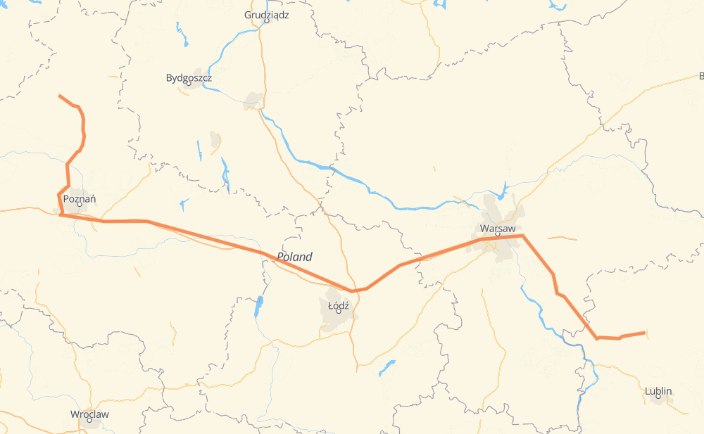
The distance from Usch to Kock is 559 kilometers by road including 300 kilometers on motorways. Road takes approximately 5 hours and 58 minutes and goes through Chodzież, Obornik, Fabianowo-Kotowo, Zielony Dębiec, Spławie, Wreschen and Stryków.
This fuel cost is calculated as: (Route length 559 km / 100 km) * (Fuel consumption 8 L/100 km) * (Fuel price 1.76 AUD / L)
You can adjust fuel consumption and fuel price here.
How long is a car ride from Usch to Kock?
Driving time:
5 h 58 min
This time is calculated for driving at the maximum permitted speed, taking into account traffic rules restrictions.
295 km with a maximum speed 110 km/h = 2 h 41 min
2 km with a maximum speed 100 km/h = 1 min
176 km with a maximum speed 90 km/h = 1 h 57 min
38 km with a maximum speed 80 km/h = 28 min
14 km with a maximum speed 70 km/h = 12 min
10 km with a maximum speed 60 km/h = 10 min
22 km with a maximum speed 50 km/h = 26 min
1 km with a maximum speed 40 km/h = 1 min
The calculated driving time does not take into account intermediate stops and traffic jams.
How far is Usch to Kock by land?
The distance between Usch and Kock is 559 km by road including 300 km on motorways.
Precise satellite coordinates of highways were used for this calculation. The start and finish points are the centers of Usch and Kock respectively.
How far is Usch to Kock by plane?
The shortest distance (air line, as the crow flies) between Usch and Kock is 419 km.
This distance is calculated using the Haversine formula as a great-circle distance between two points on the surface of a sphere. The start and finish points are the centers of Usch and Kock respectively. Actual distance between airports may be different.
How many hours is Usch from Kock by plane?
Boeing 737 airliner needs 31 min to cover the distance of 419 km at a cruising speed of 800 km/h.
Small plane "Cessna 172" needs 1 h 54 min to flight this distance at average speed of 220 km/h.
This time is approximate and do not take into account takeoff and landing times, airport location and other real world factors.
How long is a helicopter ride from Usch to Kock?
Fast helicopter "Eurocopter AS350" or "Hughes OH-6 Cayuse" need 1 h 44 min to cover the distance of 419 km at a cruising speed of 240 km/h.
Popular "Robinson R44" needs 1 h 59 min to flight this distance at average speed of 210 km/h.
This time is approximate and do not take into account takeoff and landing times, aerodrome location and other real world factors.
What city is halfway between Usch and Kock?
The halfway point between Usch and Kock is Stary Chrząstów. It is located about 3 km from the exact midpoint by road.
The distance from Stary Chrząstów to Usch is 276 km and driving will take about 2 h 51 min. The road between Stary Chrząstów and Kock has length 283 km and will take approximately 3 h 6 min.
The other cities located close to halfway point:
Zimna Woda is in 283 km from Usch and 275 km from Kock
Wola Niedźwiedzia is in 270 km from Usch and 288 km from Kock
Leonów is in 294 km from Usch and 265 km from Kock
Where is Usch in relation to Kock?
Usch is located 419 km west of Kock.
Usch has geographic coordinates: latitude 53.05315, longitude 16.73243.
Kock has geographic coordinates: latitude 51.63961, longitude 22.4444.