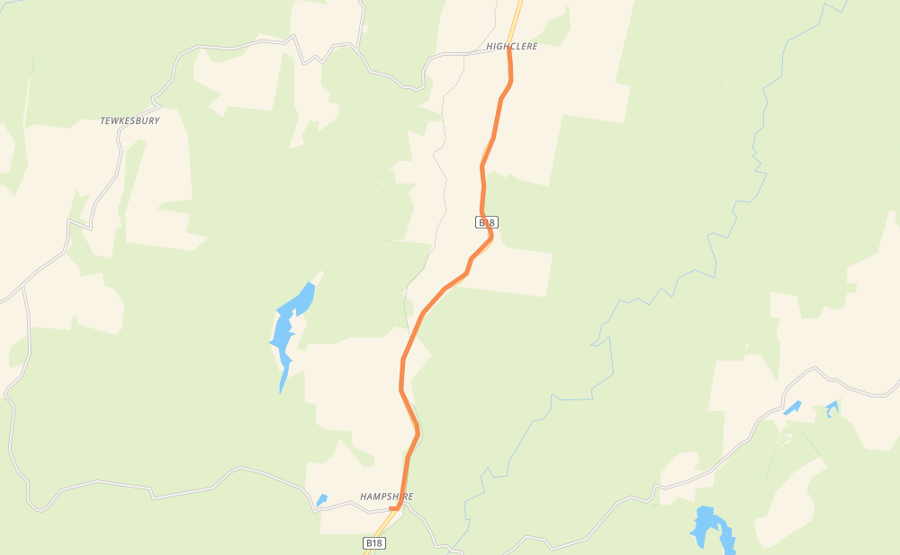
Distance between Highclere and Hampshire
The distance from Highclere to Hampshire is 9 kilometers by road. Road takes approximately 5 minutes and goes through Ridgley.
| Shortest distance by air | 8 km ✈️ |
| Car route length | 9 km 🚗 |
| Driving time | 5 min |
| Fuel amount | 0.7 L |
| Fuel cost | 1.3 AUD |
| Point | Distance | Time | Fuel | |
| Hampshire | 0 km | 00 min | 0.0 L |
Frequently Asked Questions
How much does it cost to drive from Highclere to Hampshire?
Fuel cost: 1.3 AUD
This fuel cost is calculated as: (Route length 9 km / 100 km) * (Fuel consumption 8 L/100 km) * (Fuel price 1.8 AUD / L)
You can adjust fuel consumption and fuel price here.
How long is a car ride from Highclere to Hampshire?
Driving time: 5 min
This time is calculated for driving at the maximum permitted speed, taking into account traffic rules restrictions.
- 9 km with a maximum speed 90 km/h = 5 min
The calculated driving time does not take into account intermediate stops and traffic jams.
How far is Highclere to Hampshire by land?
The distance between Highclere and Hampshire is 9 km by road.
Precise satellite coordinates of highways were used for this calculation. The start and finish points are the centers of Highclere and Hampshire respectively.
Where is Highclere in relation to Hampshire?
Highclere is located 8 km north-east of Hampshire.
Highclere has geographic coordinates: latitude -41.19284, longitude 145.80641.
Hampshire has geographic coordinates: latitude -41.26134, longitude 145.78111.
Which highway goes from Highclere to Hampshire?
The route from Highclere to Hampshire follows B18.