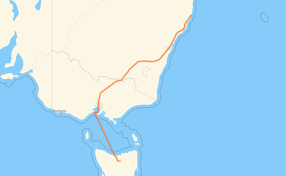
The distance from Port Macquarie to Westbury is 1,732 kilometers by road including 1,147 kilometers on motorways. Road takes approximately 34 hours and 18 minutes and goes through Wodonga, Wangaratta, Devonport, Sovereign Hills, Johns River, Coopernook and Jones Island.
How much does it cost to drive from Port Macquarie to Westbury?
Fuel cost:
249.5 AUD
This fuel cost is calculated as: (Route length 1,732 km / 100 km) * (Fuel consumption 8 L/100 km) * (Fuel price 1.8 AUD / L)
You can adjust fuel consumption and fuel price here.
How long is a car ride from Port Macquarie to Westbury?
Driving time:
34 h 18 min
This time is calculated for driving at the maximum permitted speed, taking into account traffic rules restrictions.
1,066 km with a maximum speed 110 km/h = 9 h 41 min
57 km with a maximum speed 100 km/h = 34 min
70 km with a maximum speed 90 km/h = 46 min
43 km with a maximum speed 80 km/h = 32 min
39 km with a maximum speed 70 km/h = 33 min
17 km with a maximum speed 60 km/h = 17 min
4 km with a maximum speed 50 km/h = 4 min
1 km with a maximum speed 40 km/h = 1 min
436 km with a maximum speed 20 km/h = 21 h 47 min
The calculated driving time does not take into account intermediate stops and traffic jams.
How far is Port Macquarie to Westbury by land?
The distance between Port Macquarie and Westbury is 1,732 km by road including 1,147 km on motorways.
Precise satellite coordinates of highways were used for this calculation. The start and finish points are the centers of Port Macquarie and Westbury respectively.
How far is Port Macquarie to Westbury by plane?
The shortest distance (air line, as the crow flies) between Port Macquarie and Westbury is 1,247 km.
This distance is calculated using the Haversine formula as a great-circle distance between two points on the surface of a sphere. The start and finish points are the centers of Port Macquarie and Westbury respectively. Actual distance between airports may be different.
How many hours is Port Macquarie from Westbury by plane?
Boeing 737 airliner needs 1 h 33 min to cover the distance of 1,247 km at a cruising speed of 800 km/h.
Small plane "Cessna 172" needs 5 h 40 min to flight this distance at average speed of 220 km/h.
This time is approximate and do not take into account takeoff and landing times, airport location and other real world factors.
How long is a helicopter ride from Port Macquarie to Westbury?
Fast helicopter "Eurocopter AS350" or "Hughes OH-6 Cayuse" need 5 h 11 min to cover the distance of 1,247 km at a cruising speed of 240 km/h.
Popular "Robinson R44" needs 5 h 56 min to flight this distance at average speed of 210 km/h.
This time is approximate and do not take into account takeoff and landing times, aerodrome location and other real world factors.
What city is halfway between Port Macquarie and Westbury?
The halfway point between Port Macquarie and Westbury is Holbrook. It is located about 12 km from the exact midpoint by road.
The distance from Holbrook to Port Macquarie is 854 km and driving will take about 8 h 8 min. The road between Holbrook and Westbury has length 878 km and will take approximately 26 h 9 min.
The other cities located close to halfway point:
Table Top is in 899 km from Port Macquarie and 834 km from Westbury
Thurgoona is in 906 km from Port Macquarie and 826 km from Westbury
Little Billabong is in 825 km from Port Macquarie and 907 km from Westbury
Where is Port Macquarie in relation to Westbury?
Port Macquarie is located 1,247 km north-east of Westbury.
Port Macquarie has geographic coordinates: latitude -31.42995, longitude 152.91035.
Westbury has geographic coordinates: latitude -41.52815, longitude 146.83251.
Which highway goes from Port Macquarie to Westbury?
The route from Port Macquarie to Westbury follows M31, A1, M1.